Idarado Mine
37.9151° N, 107.7003° W · ± 1 km
Sphalerite from Colorado, United States, with photos of specimens from this locality.
Minerals found here
Sphalerite at Idarado Mine
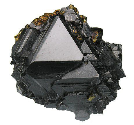
Photo: Robert M. Lavinsky · CC BY-SA 3.0 · Source

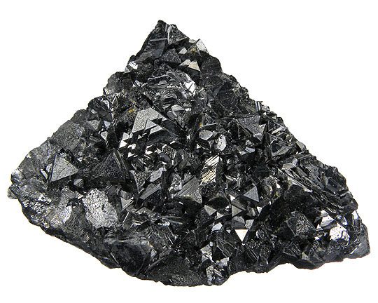
Photo: Robert M. Lavinsky · CC BY-SA 3.0 · Source

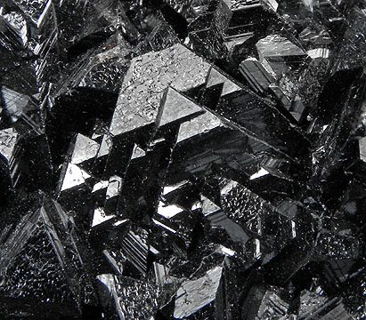
Photo: Robert M. Lavinsky · CC BY-SA 3.0 · Source

- Formula
- (Zn,Fe)S
- Morphology
- Sharp tetrahedral crystals
- Typical size
- Specimen about 2.3 cm
- Color / luster
- Lustrous jet black
- Associated minerals
- Chalcopyrite (minor)
Sources: SRC-265
Geology of the locality
- Setting
- Replacement ore body near Telluride, Ouray (Uncompahgre) district (per specimen label).
- Type
- Hydrothermal
- Region
- Colorado
- Country
- United States
Telluride, San Miguel County. Coordinates not filled: no coordinate source could be opened in this session. Coordinates: Idarado Mine as placed by Wikipedia (near the ghost town of Guston, Ouray County); the underground workings extend about 5 miles west toward Telluride, so this is a single point on the mine, not the whole system. Coordinates: Idarado Mine as placed by Wikipedia (near the ghost town of Guston, Ouray County); the underground workings extend about 5 miles west toward Telluride, so this is a single point on the mine, not the whole system. Coordinates: Idarado Mine as placed by Wikipedia (near the ghost town of Guston, Ouray County); the underground workings extend about 5 miles west toward Telluride, so this is a single point on the mine, not the whole system.
Sources
- SRC-265 · Website
File:Sphalerite-221270.jpgRobert M. Lavinsky (photo); Wikimedia Commons · 2010 · Wikimedia Commons (via vigyanwiki.in mirror) - SRC-305 · Website
Idarado Mine - Wikipedia

Draft data from the Provenite workbook. Check entries against the cited sources before relying on them. Photos are open-licence images from Wikimedia Commons; the author and licence are given with each photo.