Thomas Muentzer Shaft (Schacht Sangerhausen)
51.4839° N, 11.2924° E · ± 1 km
Bornite from Saxony-Anhalt, Germany, with photos of specimens from this locality.
Minerals found here
Bornite at Thomas Muentzer Shaft (Schacht Sangerhausen)
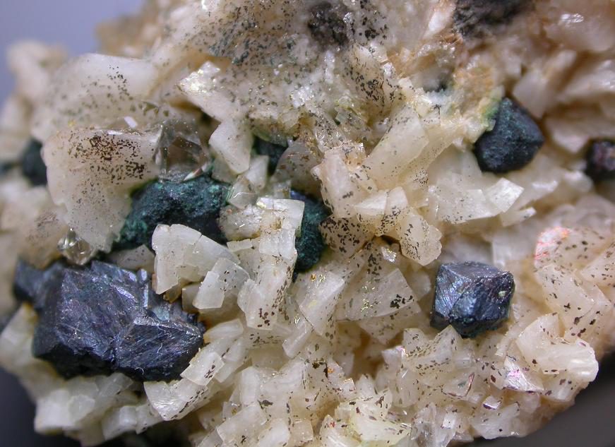
Photo: Leon Hupperichs · CC BY-SA 3.0 · Source

- Formula
- Cu₅FeS₄
- Morphology
- Small grains or crystals (field of view 20 mm)
- Typical size
- Millimetric
- Availability
- No longer available
- History
- Bornite in the Kupferschiefer at this shaft is documented here only by a collector's photo label; no second source was opened.
Sources: SRC-682
Geology of the locality
- Setting
- Stratiform Kupferschiefer (Zechstein copper shale) seam, reached at about 455 m depth
- Host rock
- Kupferschiefer (Zechstein copper shale)
- Region
- Saxony-Anhalt
- Country
- Germany
Shaft sunk from 1944 (as Schacht Sangerhausen), named Thomas Muentzer 1950-1990; ore mined 1951 to August 1990, then flooded and backfilled 1992-1993. Coordinates from the map link of the Karstwanderweg page.
Sources: SRC-672
Sources
- SRC-672 · Website
Thomas-Muentzer-Schacht (Schacht Sangerhausen)Karstwanderweg Suedharz · karstwanderweg.de - SRC-682 · Website
File:Bornite-254396.jpg (Wikimedia Commons)Leon Hupperichs · Wikimedia Commons
Draft data from the Provenite workbook. Check entries against the cited sources before relying on them. Photos are open-licence images from Wikimedia Commons; the author and licence are given with each photo.