Sunnyside Mine (American Tunnel)
37.9031° N, 107.6114° W · ± 1 km
Rhodochrosite from Colorado, United States, with photos of specimens from this locality.
Minerals found here
Rhodochrosite at Sunnyside Mine (American Tunnel)
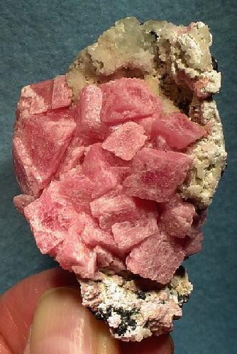
Photo: Robert M. Lavinsky · CC BY-SA 3.0 · Source

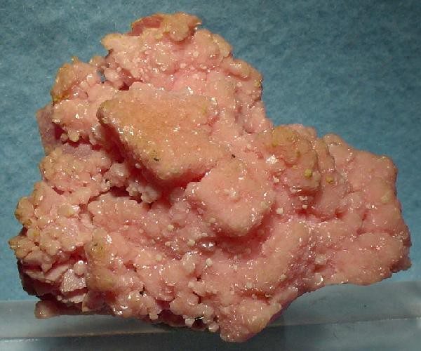
Photo: Robert M. Lavinsky · CC BY-SA 3.0 · Source

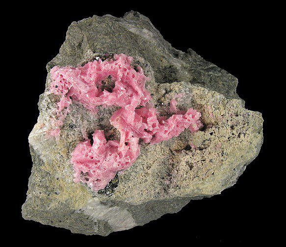
Photo: Robert M. Lavinsky · CC BY-SA 3.0 · Source

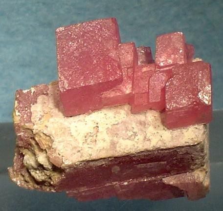
Photo: Robert M. Lavinsky · CC BY-SA 3.0 · Source

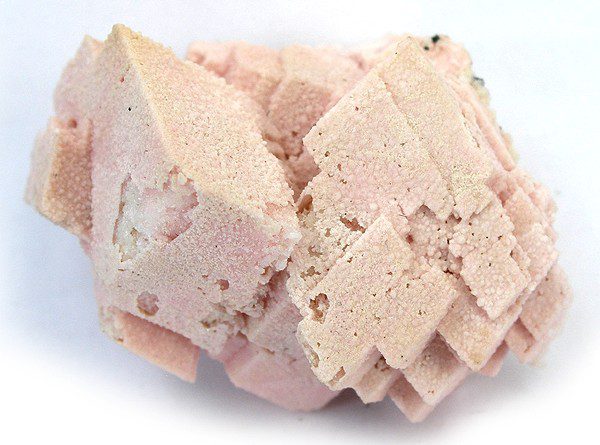
Photo: Robert M. Lavinsky · CC BY-SA 3.0 · Source

- Formula
- MnCO₃
- Morphology
- Rhombs lining quartz matrix; also skeletal, cast-like crystals
- Typical size
- Rhombs to about 1.3 cm on photographed specimens
- Color / luster
- Pink to cherry-red, lustrous to frosted
- Associated minerals
- Quartzcalcitefluoritegalenasphaleritechalcopyritepyrite
- Availability
- Scarce
- History
- Ore production through the American Tunnel ended in 1991
Geology of the locality
- Setting
- Multi-generation fissure-filling veins tied to the Eureka graben, a volcanic collapse structure between the Silverton and Lake City calderas.
- Type
- Hydrothermal
- Region
- Colorado
- Country
- United States
Coordinates from the Mindat page for the Sunnyside Mine group (37 deg 54 min 11 s N, 107 deg 36 min 41 s W). Commons file labels place the specimens at Howardsville / Silverton district; Mindat lists the Sunnyside Mine group in the Eureka district. Ore production through the American Tunnel ended in 1991.
Sources: SRC-390
Sources
- SRC-390 · Database
Sunnyside Mine group, Bonita Peak, Gladstone, Eureka Mining District, San Juan County, Colorado, USAMindat.org contributors · Mindat.org / Hudson Institute of Mineralogy - SRC-400 · Website
Wikimedia Commons: Rhodochrosite-170569.jpg (Sunnyside)Lavinsky, R.M. · Wikimedia Commons
Draft data from the Provenite workbook. Check entries against the cited sources before relying on them. Photos are open-licence images from Wikimedia Commons; the author and licence are given with each photo.